
Westerville Neighbors Start With Block Sources
Westerville spans Franklin and Delaware counties. A full address must be routed through the appropriate county Auditor before a block search proceeds, since the parcel county determines the GIS, Recorder, election, and archive paths. The nearby-parcel method is deliberately narrow: identify the focal parcel, select only the surrounding land units, inspect those cards one at a time, and use recorded documents when a land-history question remains. It creates a defensible map of parcels and recorded owners, not a directory of everyone living nearby.
| Block source | What it shows about a block | Access |
|---|---|---|
| Franklin Parcel Viewer | Nearby parcels selected with shape, value, or spatial tools | Free map workflow with results and CSV export |
| County Auditor parcel card | Taxable owner display, situs, mailing clue, parcel, and tax context | Use the correct Franklin or Delaware property portal |
| County Recorder | Deeds, plats, transfers, and legal-description trail | County index, counter, or copy route |
| City GIS | Municipal and county geographic-data context | City GIS hub; not a private roster |
| Museum and civic records | Historical local organizations, maps, schools, churches, and places | Westerville History Museum catalog and staff route |
Ohio voter data is subject to public-record and confidentiality rules, but the individual voter form is not a reverse block-search tool. It should not be used to enumerate Westerville neighbors.
Find the Westerville Focal Parcel First
Enter the exact Westerville address in the county Auditor property system. The City directs 43081 property-tax work to Franklin County and 43082 to Delaware County, yet warns that the mailing address, post office, and school district do not necessarily identify taxing jurisdiction. The resulting parcel card should supply the land key for the block search: parcel ID, situs, displayed owner, mailing clue, tax district, transfer data, and legal description or subdivision.
Keep the situs and mailing fields separate. Situs is the physical parcel location. A mailing address is the destination for tax correspondence and can be elsewhere, a business address, a trustee address, or a post-office box. A named taxable owner is a land-record fact, not proof that every person at the site is a current neighbor. The parcel card is the first context check, not an identity conclusion.
Note: Westerville's postal label cannot choose the county record system, so the parcel county must be established before any neighboring parcel is added.
Map a Westerville Block Through Parcels
Use a small, repeatable GIS process for Westerville neighbors. In Franklin County, find the focal parcel through Auditor search or map Identify. Open By Spatial, enter a limited distance, choose parcels entirely within or intersecting the buffer, then inspect Results and record the parcel identifiers. By Shape provides another option when a carefully drawn area better matches the block. Each selected parcel can then be opened in the county property search. Franklin's Results menu can export a CSV for recordkeeping.
- Locate the exact focal parcel and confirm its county, situs, and parcel ID.
- Apply a small spatial buffer or draw the intended block area in the GIS viewer.
- Select parcels that intersect the boundary and record their parcel IDs.
- Open each parcel card separately and note its owner display, legal description, and transfer clue.
- Use the matching Recorder only when a deed, plat, or transfer needs confirmation.
Delaware's documented route is similar: select a parcel, choose Tools then Buffer, pick distance and units, select surrounding parcels, run Buffer, and export the result. Its guide notes a 1,000-record cap. Use a small area and keep the result tied to the addressed parcel.
Westerville Neighbors and Franklin Buffer Tools
Franklin Parcel Viewer has practical tools that make a Westerville block inquiry reproducible. By Value can use data-layer and field choices such as parcel ID, subdivision or condominium name, annexations, and special tax districts. Layer List controls the map layers. Identify can surface map features and link back to property search. By Spatial uses the selected parcel as its reference point, so it avoids relying on a loosely typed street name alone.
The goal is a parcel inventory, not a people list. A buffer may include a road, right-of-way, business parcel, common area, or a nearby parcel with a very different mailing address. Read each property card in its own context. Preserve the parcel ID and map method if the information needs to be checked later.
Buffer tip. Use the smallest reasonable Westerville buffer, then confirm each returned parcel in its own Auditor card before treating it as part of the block.
Read Westerville Neighbor Parcels in Context
County cards make a useful comparison with compiled neighbor tools. Official parcel records disclose a county-maintained land and tax inventory with a parcel, situs, owner display, mailing clue, transfer information, and sometimes exemption data. A compiled neighbor product can mix stale public data, marketing data, and same-name records. Neither category replaces an actual current household roster. For Westerville neighbors, the official card has the clearer land-record provenance, while its limits remain visible.
| Official parcel record | Compiled neighbor category | Practical conclusion |
|---|---|---|
| County-maintained land and tax fields | May combine varied public and marketing sources | Prefer the county card for parcel facts |
| Shows a taxable owner and mailing clue | May imply relationships or current locations | Do not equate either source with occupancy |
| Can be checked against a deed and legal description | May merge people with similar names | Verify details at the original custodian |
Homestead or exemption information is tax-administration data. It should be described only as a recorded tax field, not as proof of who is present at the property.
Compare Westerville Adjacent Deeds and Plats
When a block question concerns land history, take the parcel number and legal description to the Recorder for the correct county. Franklin Recorder does not index street addresses. Its address path is Auditor address search, parcel or legal-description clue, then Recorder search by party, parcel when indexed, subdivision, legal description, or document number. Deeds name parties to a transfer and can be compared against plats to understand lot or subdivision placement. They do not prove present household composition.
The Franklin County Recorder Property Alert is a free name-based notification tool for matching recorded-document filings. It is an alert, not title proof or a neighbor directory.
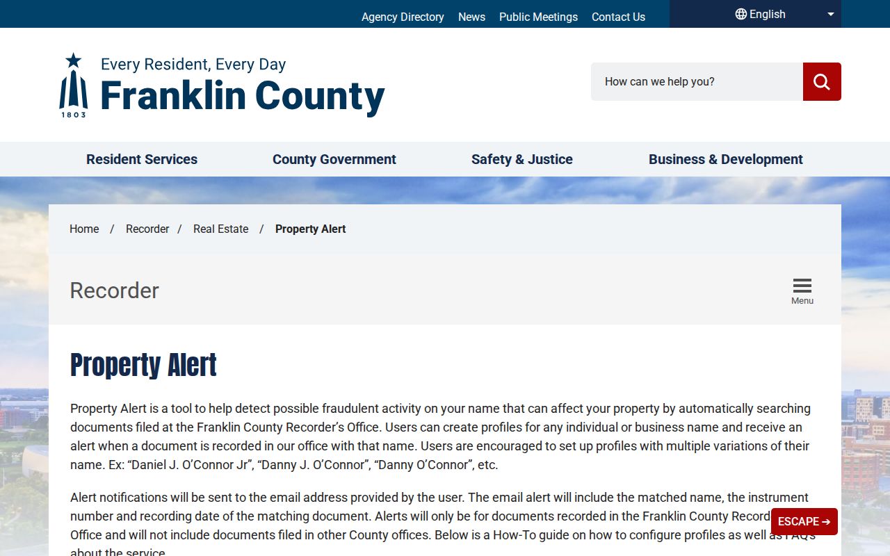
Read any alert by opening the actual Recorder document and checking its parcel and legal-description details.
For the whole named-street record sequence, the Westerville street directory uses the same Auditor-to-Recorder bridge at street scale.
Westerville Voter Data Is No Block List
Ohio makes some voter-registration information public under R.C. 3503.15, subject to confidentiality protections. That does not make the individual lookup a Westerville neighbor finder. Franklin County's public form requires First Name, Last Name, Birth Year, House Number, and a verification checkbox. There is no search-by-street control. A failure to find someone can reflect the other county, a move, an input variation, or a protected record. Do not infer or publish the reason.
Ohio's DATA Act portal provides countywide, date-specific registration snapshots. It uses Election, Start Date, End Date, County List, and download controls, with a maximum seven-day date span and at least 22 months of retained snapshots. That is a formal historical record route for the chosen county, not a shortcut to list every person around a Westerville address. Ballot choices are secret.
The Franklin County voter-search form shows the required identity fields.
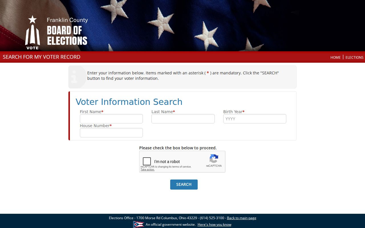
The house-number field helps authenticate an individual query. It does not authorize reverse address enumeration.
Westerville Community Context Has Limits
Westerville's research supports a useful historical community layer, but not a current membership roster. The Westerville History Museum holds material on civic organizations, churches, city departments, schools, maps, photographs, obituaries, and oral histories. The City provides public boards, planning, and public-record routes. No reliable official citywide neighborhood-association directory or verified private association member list was located. Do not assume an association publishes a list of Westerville neighbors.
| Public Westerville route | Appropriate use |
|---|---|
| Westerville History Museum | Historical place, organization, map, obituary, and collection research |
| City Planning records | Public planning context, subject to the specific record and exemptions |
| Clerk of Council public-record request | A narrow request for an existing city-maintained contact or address-specific record |
The Westerville historical narrative collection provides a local history entry point for a known street or place.
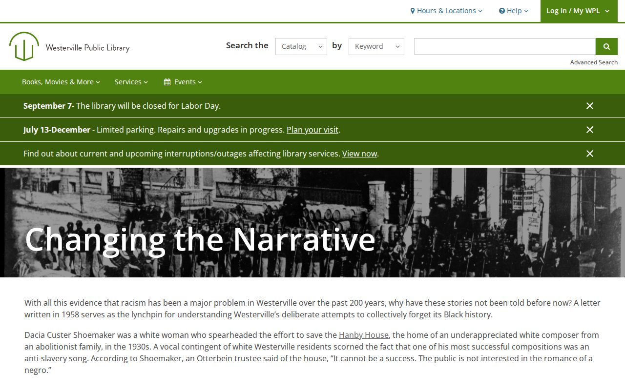
Historical context can suggest another dated source to check, but it does not establish current membership or residence.
Westerville Neighbor Privacy Boundaries
Nearby parcels are not an official roster of Westerville neighbors. Non-owner occupants and household members are not parcel-card fields. Protected voter and address information must remain protected. The Ohio Safe at Home Address Confidentiality Program lets eligible participants use a substitute address for covered government communications and records. An address shielded through that program is not information to reconstruct from partial map, record, or archive clues.
Motor-vehicle personal information has separate restrictions, and utility account data is not a public neighborhood record. If a county property record is factually wrong, use the Auditor correction route. If an online public record contains qualifying protected information, Ohio's R.C. 149.45 sets a written-request process for certain redactions. Those paths correct or protect data at the responsible custodian.
The Ohio Safe at Home program explains the state's protected-address route.
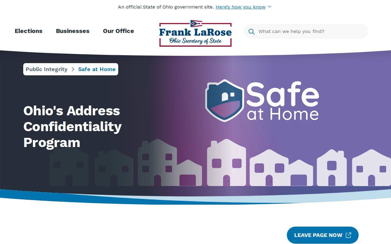
The program is a privacy safeguard, not an obstacle to work around during a neighbor lookup.
Lawful use. Westerville block records support personal, civic, property, and historical research. Do not use them to stalk, harass, intimidate, or harm another person.